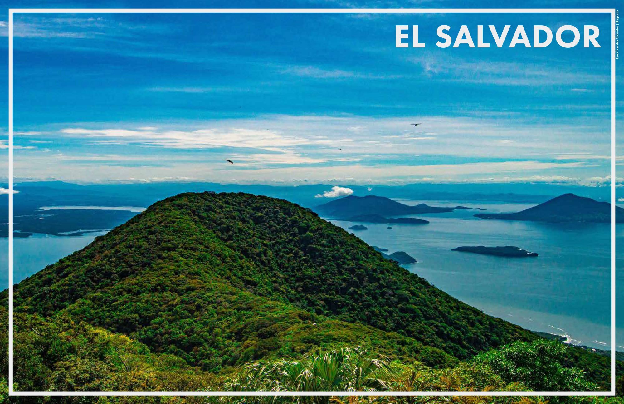
El Salvador is the sole Pacific Ocean facing country belonging to Central America. With a coverage of 21,041 km2 and a population of 6,454,000 (FAO, 2019), it possesses a coastline of 321 km and an Exclusive Economic Zone (EEZ) of 85,510 km2 (STP-GOES, 2013; MARN, 2023).
El Salvador has a linear coastline, bordered to the north by Guatemala and to the south (sharing the Gulf of Fonseca) by Honduras and Nicaragua. The seabed is 200 nm from the lowest tide line. El Salvador’s coastline extends from 13°N and 88°W to 14°N and 90°W, and the outer edge of its Exclusive Economic Zone is located between 10°N and 90°W and 11°N and 92°W, delimiting an area of approximately 80,000 km2 of ocean waters (STP-GOES, 2013; MARN, 2023).
The continental shelf of El Salvador is part of the Eastern Tropical Pacific (ETP) biogeographic region that extends from the Pacific coast of Baja California, near Magdalena Bay, to the southern coast of the Gulf of Guayaquil, which includes the Galapagos Islands, as well as the Revillagigedo, Clipperton, Cocos, and Malpelo islands (Hastings, 2000; Robertson & Cramer, 2009); and within the Eastern Central Pacific fishing zone of the Food and Agriculture Organization (FAO) that goes from California (Baja California to the Gulf of Panama), where there are important upwelling areas such as the Central America thermal dome and the Isthmus of Teguantepec (Parrish et al., 1983; Bakun et al., 1999; Robertson & Cramer, 2009). The continental shelf presents a fairly uniform slope from the beach line to the sea. Towards the north-western coastal zone, the 100 m depth isobath is 35 km off the coast of Acajutla; between La Libertad and the mouth of the Lempa River, 55 km off the coast; and between the mouth of Jiquilisco Bay and Sierra de Jucuarán, it is 65 km away (Gierloff-Emdem, 1976).

